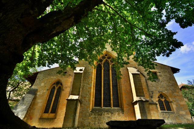

At a total length of 329 km, the Cluny Way is represented in stages in the form of route-map sheets, one sheet for each stage. Thanks to these eleven sheets, the hiker can obtain the appropriate topographic map, containing all the necessary details for hiking along the marked route. Furthermore, in order to give a historical aspect to the hike, numerous points of interest are shown along the route.
Cluny Abbey was founded by William the Pious in 910. In its heyday, its power influence and reach extended across the whole of Europe. It was mother house to 1400 daughter-houses but disappeared in 1790 when religious vows were prohibited by the French Revolution.
1 April 2025
31 October 2025
Monday
Tuesday
Wednesday
Thursday
Friday
Saturday
Sunday
The sheets are available online at the European Federation of Cluniac sites (www.sitesclunisiens.org) or at the various Cluniac sites and their associated tourist offices.
Agence ADNV / Office du tourisme du Nord vaudois
Avenue de la Gare 2
1400 Yverdon-les-Bains
T +41 24 423 03 13